Protected: Image Formats for Mapping
This content is password protected. To view it please enter your password below: Password:

This content is password protected. To view it please enter your password below: Password:
It has been a few weeks of lock-down now and we hope that all our readers are doing well during these uncertain times. If you haven't seen our post with links to assist small businesses, resources for laid-off workers and key ways we all can save and use our downtime, check it out here. Our [...]
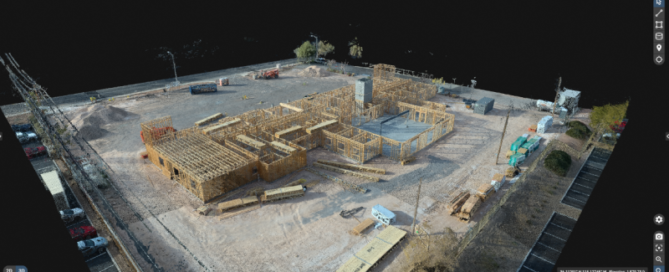
Douglas Spotted Eagle and Brady Reisch headed into the field to collect aerial construction data over fourteen weeks with three different drones. Their goal was to determine which drone was best for the construction job site. They used three popular aircraft for the comparisons and the results were pretty surprising. Read all about it [...]
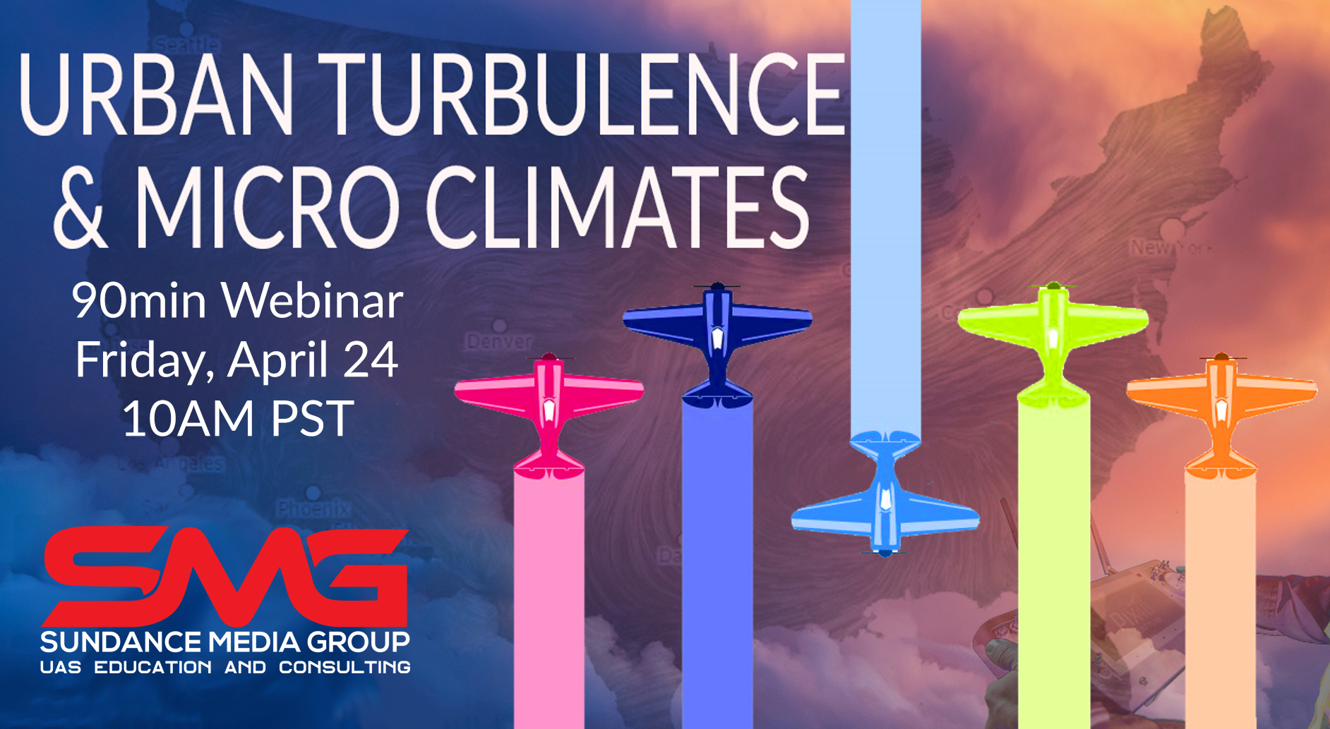
Have you ever had a situation in the field where your sUAS seemed to have a mind of its own? In this 90 minute webinar, we'll discuss how wind flow patterns offer predictability if one is able to read the environment. We'll explore how seemingly unpredictable sUAS behavior can be predicted based on [...]
During this time of surreal and trying circumstances, Sundance Media Group stands ready to support our clients, friends, and agencies who have utilized our services, or are considering our services. We have suspended all in-person training until April 17, and will re-evaluate our stance at as that date approaches. Per Federal recommendations, we urge anyone not directly [...]
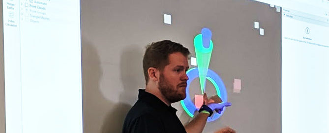
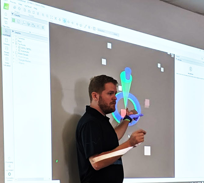
Description Pix4D software allows users that do not possess specialized GIS-grade equipment to rapidly create relatively accurate models. This Pix4Dmapper workshop focused on an sUAS (drone) capture workflow, will introduce key Pix4Dmapper workflows and output. This two-day session will showcase optimal camera settings, flight planning techniques, MTP identification, placement, safety considerations, and application-specific best practices. [...]
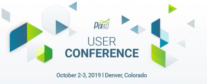
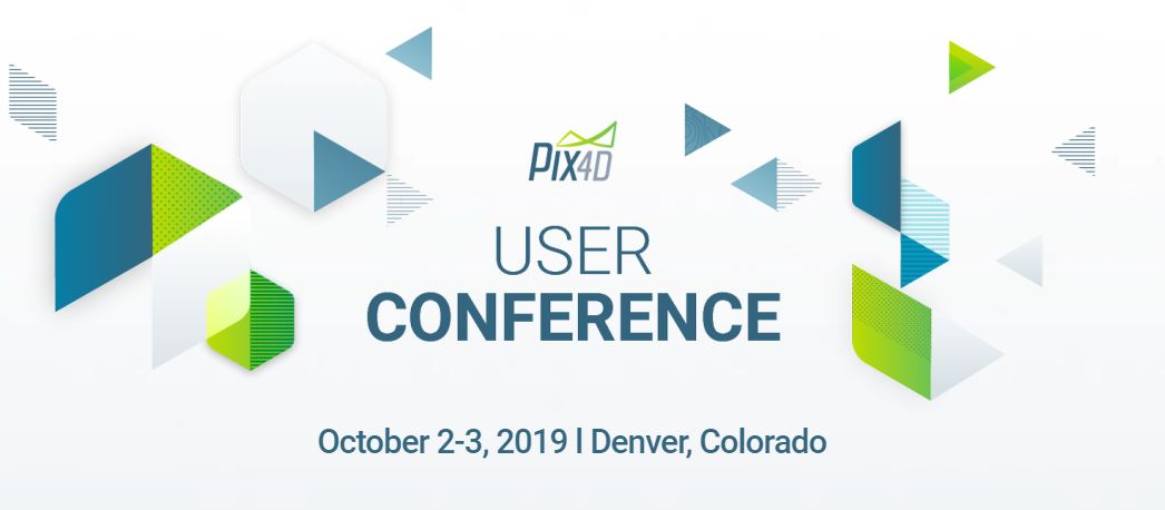
Be part of it Join other Pix4D users, drone enthusiasts and GIS-perts in Denver for two days of talking about tech that’s changing the world. There’s a lineup of user stories, new products to explore, and some of the most interesting people around – your peers. Get inspired From data acquisition to integration with third [...]
Recent experiences around the country indicate that there are pilots in the UAS industry that may not fully understand the unique differences between Authorizations, Waivers, and NOTAMs. The point of this article is to express the differences, and bring clarity to the three notifications. Imagine a public event where multiple UAS pilots will gather to [...]
This FREE EVENT is brought to you by: FoxFury and Sundance Media Group will demonstrate how to achieve a forensic scene capture in the dark, with a drone, capable of 2D and 3D mapping and modelling. These same techniques may be [...]
Description Kickstart your public safety workflow by learning about Pix4D's recommended best practices when capturing and processing aerial and terrestrial images. This is a technical workshop organized in partnership with Pix4D for public safety professionals using drones to document vehicular collisions. The workshop will introduce you to creating accurate reconstructions and improving final results. By registering for [...]
