LP360 User Conference
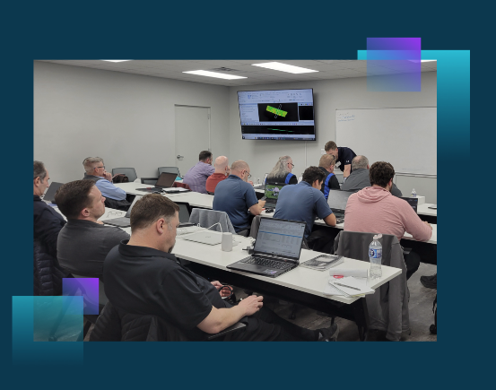
Our partners at LP360 are hosting a User Conference October 9 – 11. Connect with your peers Elevate your geospatial expertise and connect with a community of LiDAR and photogrammetry professionals at the Annual LP360 [...]
AirData Update
Recently, our friends from AirData shared an update regarding how they were going to address the challenges with DJI's data deletion. We wanted to share that forward with you! To Address DJI’s Data [...]
Commercial UAV Expo 2024 – That’s a Wrap!
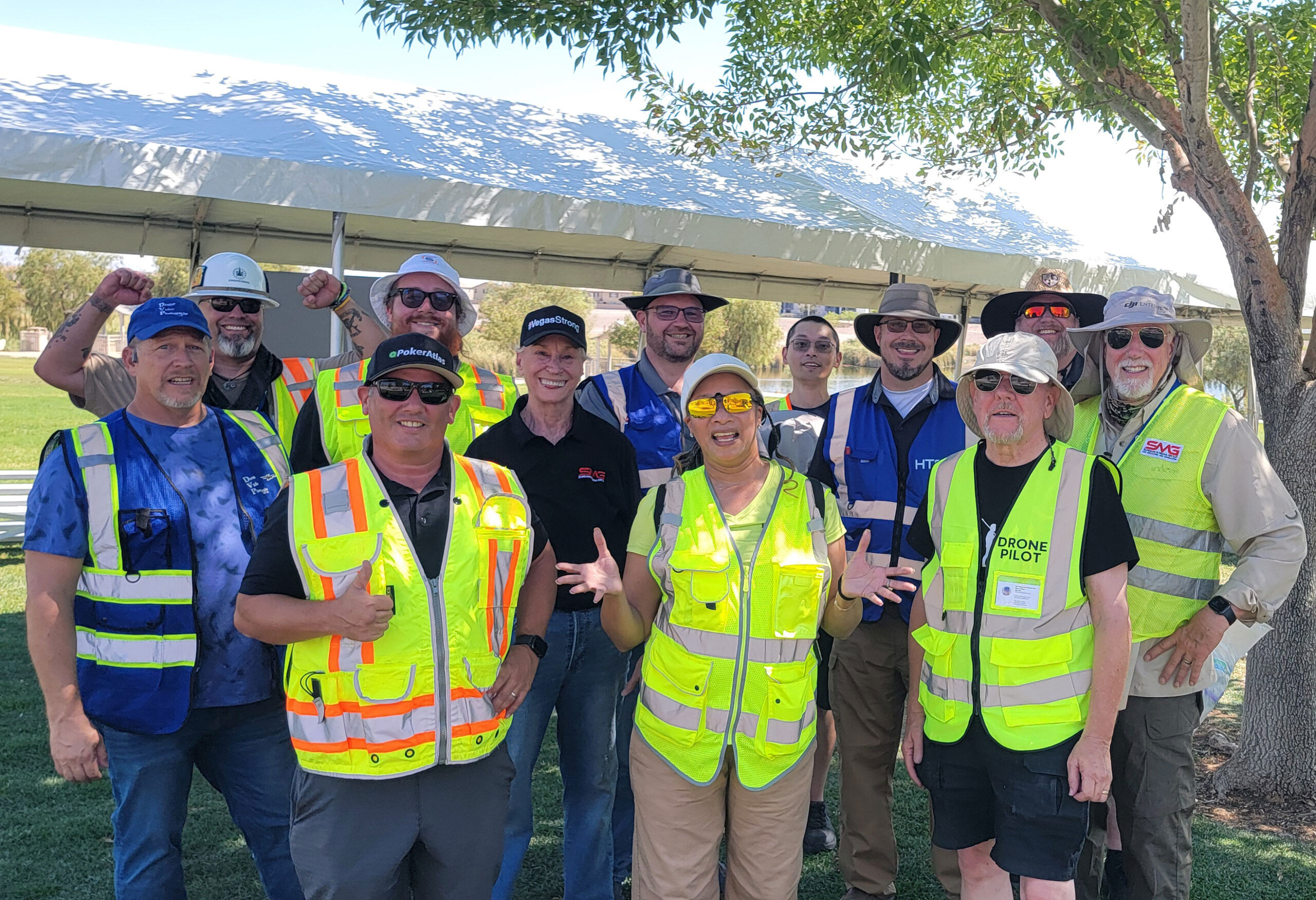
Commercial UAV Expo 2024 - That's a Wrap! It's hard to believe that the biggest drone convention of the season has come to a close! Drones in Action was this year's theme and boy [...]
Why the House’s DJI Ban Under NDAA Was No Surprise to The LiDAR PROs Team
Maptek A3F (South Korean) with Geocue 535 flying over state property House’s DJI Ban Under NDAA: The recent Senate vote to ban DJI in the NDAA bill may have come as a shock to some, but for those [...]
RTK and Drone Mapping: Do You Need It? Is It Worth It?
RTK and Drone Mapping: Do You Need It? Is It Worth It? Real-Time Kinematic (RTK) is a buzz term in the UA industry, one many pilots may not understand, even though they may be “mapping” [...]
WHAT IS LiDAR?
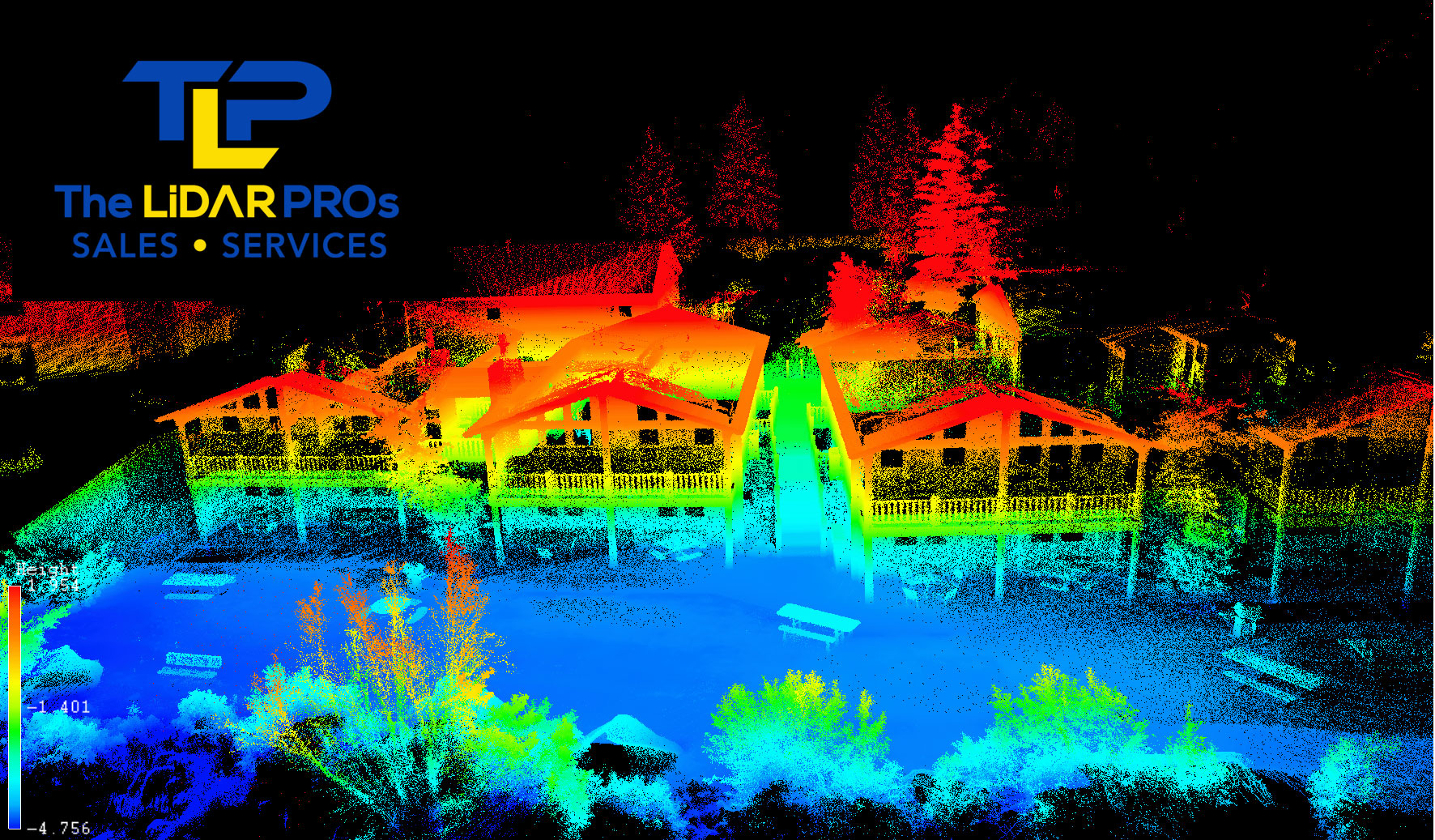
WHAT IS LiDAR? LiDAR’s name sounds a lot like Radar, because it is similar. LiDAR is “Light Detection And Ranging.” Like radar, it’s a technology used to see what the human eye can’t see, either close up [...]


Recent Comments