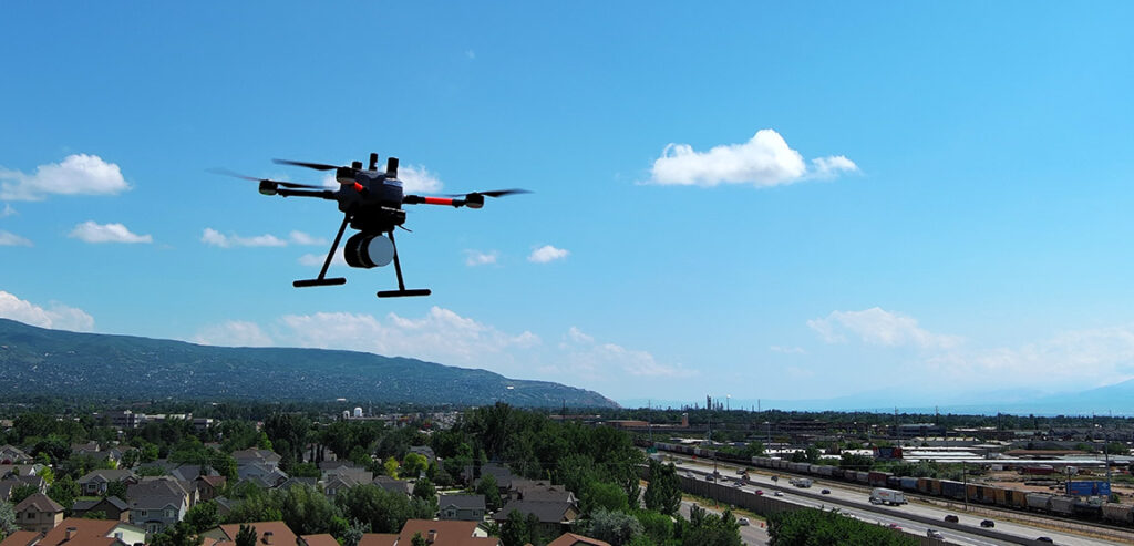
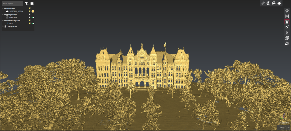
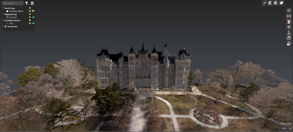
LiDAR and Photogrammetry services in SLC are affordable, efficient, and expedient. Whether data is captured for As-Built, ALTA survey input data, mapping, inspection, land development, roadway condition reports, post-avalanche or landslide evaluation/analysis, watershed, or other engineering, scientific, or construction/survey use, no one in Utah offers the resolution nor quality we offer.
We can provide straight/raw data to the user. Alternatively, SMG provides managed data which includes .las or .laz pointclouds fully processed for user analysis. Regardless of delivery format, our team provides data at higher speed than any other aerial scanning firm in Utah.
Although we operate statewide, our Las Vegas team manages the Southern Utah region. Our SLC team manages northern Utah. Additionally, our services extend to western Wyoming, Southern Idaho, Southern California, Arizona, and New Mexico.
Contact us today for any photogrammetry or LiDAR needs. SMG Virtual Design Consultants/VDC are here to assist with planning, flight/data requirements, and execution. Our team accepts .kml/kmz files for rough flight plans. Alternatively, we can design the flight mission per client request.
WHAT IS “BIM”?
BIM refers to the Building Information Model, a digital database of information related to a building. Both geometric and non-geometric information are included in this data. VDC refers to the process in which BIM is used through the lifecycle of a project.
Our capabilities include scan-to-BIM for indoor areas in both medium and Reality Capture quality, enabling capture of wall interiors before cladding to identify locations of electrical, mechanical, plumbing, or other wire/pipe chases for instant location once walls are covered. Additionally, capturing piping prior to slab pour provides geo-located data to precisely identify locations of subsurface materials and cavities. This is an invaluable “owners manual” to provide building developers.
WHAT IS “VDC?”
Virtual Design and Construction (VDC) is a type of technology that creates digital models of buildings and project sites. Architects, engineers, and contractors use VDC models to visualize and plan building designs, processes, schedules, budgets, and more.
This process is often thought of late in the project, creating limitations. Considering Virtual Design at the start of any project through scanning and creating a Digital Surface Model enables a start-to-finish digital file of all exterior, grading, material removal, haul-off, and can assist greatly in calculating or planning various tasks on the job site.

Mobile Mapper
Mobile Mapping isn't just for large corporations. Any developer will find benefit in mobile ground scans. Data is captured at high-speed, enabling seamless scanning throughout any given area. Resolution in determined by travel speed; speeds slower than 35mph provide deep resolution, enabling even ADA compliance or other small measurements to be captured without stopping. Mobile mapping is a great benefit to any urban planning process (one use-case example).
MOBILE MAPPING:
Mobile mapping is a technology allowing a vehicle to capture LiDAR data while traversing roads in real-time. SMG’s mobile mapper, when combined with aerial LiDAR capture, provides a wholistic image of any given area. Scans may be viewed as DTM, DEM, DSM, or topos.
SMG’s Microdrone EasyOne and 535 LiDAR sensors are the state-of-the-art, and the highest resolution LiDAR unit privately owned in the state of Utah. This project flew over a new park development in Davis County, with flight-to-pointcloud requiring less than 2 hours from plan to finished product. LiDAR allows for higher speed flight capturing significantly larger areas than a photogrammetry system can capture, yet this new technology allows for photogrammetry sync’d/locked to the pointcloud for highest resolution, colorization, ortho, or other outputs.
